


Prime TEC Data and GIS Solutions is a forward-thinking Geographic Information System (GIS) and data solutions hub dedicated to expanding the frontiers of geospatial technologies and data analytics in addressing emerging business, environmental, and development challenges. We bridge the gap between data, technology, and impact by offering comprehensive GIS applications, research support, and spatial data services that empower decision-makers and drive innovation.
Innovative solutions
Capacity building
Research excellence
Real-world impact
We manage and analyze complex datasets through statistical and computational approaches, ensuring precise and actionable results..
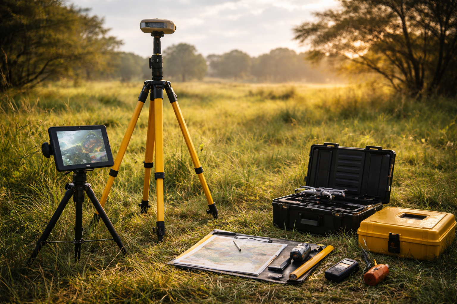
We undertake geospatially informed field observations, measurements, and surveys to collect accurate ground data that complements satellite-based analysis.
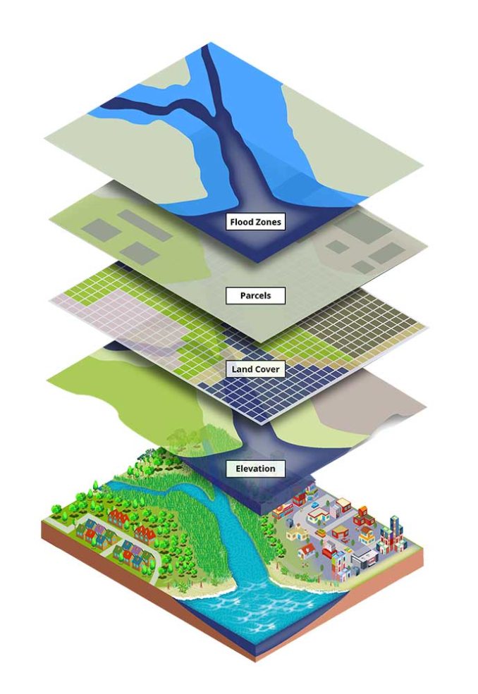
We apply advanced GIS and remote sensing techniques for spatial analysis, geocoding, mapping, and 3D modeling.
We specialize in extracting, organizing, and analyzing diverse datasets: environmental and climate data, socioeconomic and demographic variables
We provide dependable, high-quality GIS and data services backed by strong expertise, modern tools, and a commitment to helping organizations achieve measurable impact. We combine expertise, innovation, and passion to deliver reliable geospatial solutions and measurable impact.
Committed to delivering trusted geospatial insights
Focused on innovative, data-driven solutions
Experienced team with proven project results
Reliable support for sustainable decision-making
Happy clients
Projects completed
At PrimeTec, we are dedicated to expanding the frontiers of geospatial technologies and data analytics in addressing emerging business, environmental, and development challenges.
© 2025 PrimeTec. All Rights Reserved. Designed by StephDigitals