
Team
We are a GIS and data solutions hub committed to transforming spatial data, research, and technology into practical insights for smarter decisions and sustainable development.
Prime TEC Data & GIS Solutions is a growing geospatial, data analytics, and research solutions hub dedicated to helping individuals, institutions, organizations, and businesses make better decisions through data and location intelligence. We specialize in GIS, remote sensing, data analysis, field research, data mining, mapping, cartography, project design, and capacity building. Our work is driven by the belief that many development, environmental, business, and planning challenges can be better understood when data is properly collected, analyzed, visualized, and communicated.
At Prime TEC, we do more than produce maps. We help turn complex information into clear, useful, and actionable insights. Whether through spatial analysis, field data collection, dashboard development, research support, or GIS training, our goal is to support evidence-based decisions that create real value.
Prime TEC was established as a response to the growing need for reliable GIS, data, and research support in Nigeria and beyond. Across many sectors, data exists but is often scattered, poorly organized, underutilized, or difficult to translate into meaningful decisions. At the same time, many students, researchers, professionals, and organizations require practical geospatial skills and support to solve real-world problems.
Prime TEC was created to bridge this gap.
We bring together geospatial tools, data analytics, research methods, and practical training to support planning, environmental management, agriculture, infrastructure development, business intelligence, field surveys, and development projects. Our approach combines technical competence with a strong understanding of local challenges and opportunities.
As a growing organization, we are also committed to building a network of young professionals capable of applying GIS, data analysis, remote sensing, and research skills to present and emerging societal needs.
Our mission is to provide reliable GIS, data analytics, research, mapping, and training solutions that help individuals and organizations make evidence-based decisions and solve real-world problems. We aim to make geospatial knowledge more accessible, practical, and useful for development, business, research, and environmental management.
Our vision is to become a leading GIS and data solutions hub in Nigeria and Africa, recognized for technical excellence, practical innovation, capacity building, and meaningful contributions to data-driven development. We envision a future in which organizations, researchers, communities, and decision-makers can access and use reliable spatial data to plan more effectively, manage resources more effectively, and respond to complex challenges with confidence.
At Prime TEC, we believe that good solutions begin with good data, but data alone is not enough. Data must be properly collected, validated, analyzed, visualized, and communicated.
Our approach is built on five principles:
Understand the Problem: We begin by understanding the client’s challenge, project need, research question, or decision-making context.
Use the Right Data: We identify, collect, clean, and organize relevant spatial and non-spatial data from credible sources, fieldwork, remote sensing platforms, open data portals, and client records.
Apply Suitable Methods: We use appropriate GIS, data analysis, remote sensing, statistical, and visualization techniques depending on the project goal.
Communicate Clearly: We convert complex analysis into clear maps, dashboards, reports, presentations, and knowledge products that users can understand and apply.
Build Capacity: We do not only deliver outputs; we also help people learn. Through training, mentoring, and technical guidance, we support long-term capacity development.
Many important decisions in Nigeria and across Africa require reliable spatial data. Decisions about roads, schools, hospitals, agriculture, flooding, land use, waste management, business locations, environmental risks, and community development all have a location component. However, spatial data is often unavailable, outdated, difficult to access, poorly documented, or underused.
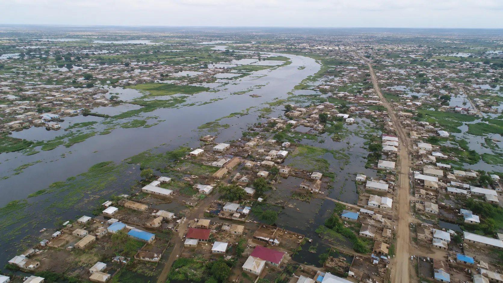
Prime TEC exists to help close this gap by supporting:
better access to geospatial data
improved spatial analysis and visualization
stronger research and project evidence
practical GIS training and mentorship
data-driven planning and decision-making
development of maps, dashboards, and spatial databases
translation of technical data into public-facing knowledge
We believe that when data is properly used, it can support smarter planning, better service delivery, stronger institutions, and more sustainable outcomes.
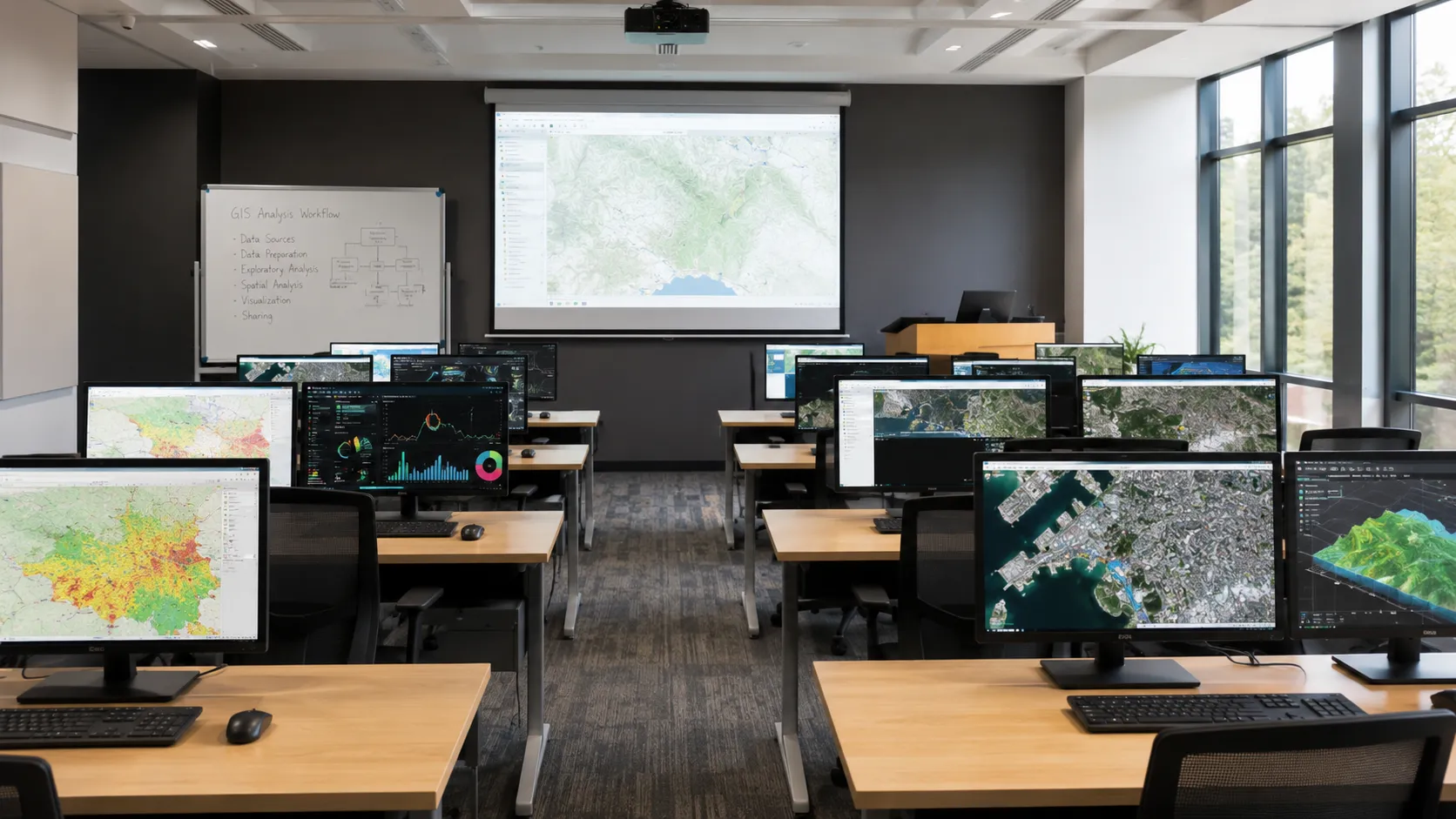
Prime TEC’s work cuts across different sectors and themes, including:
Environment and Climate: We support environmental monitoring, land-use analysis, vegetation assessment, flood-risk mapping, climate-exposure analysis, and natural resource management.
Urban and Regional Planning: We provide mapping and spatial analysis for infrastructure, settlements, transportation, service accessibility, land use, and urban growth.
Agriculture and Food Security: We use GIS and remote sensing to support agricultural monitoring, land suitability analysis, crop condition assessment, and climate-smart planning.
Health and Education Access: We map public facilities, service gaps, population distribution, and accessibility patterns to support more equitable planning.
Disaster Risk and Humanitarian Support: We apply geospatial tools to understand exposure, vulnerability, displacement contexts, flood-prone areas, and emergency planning needs.
Business and Investment Decisions: We support location intelligence, market analysis, site selection, logistics planning, asset mapping, and operational decision-making.
Research and Capacity Building: We support students, researchers, institutions, and professionals with data sourcing, analysis, mapping, documentation, and training.
At Prime TEC Data & GIS Solutions, we believe that every place has a story, every dataset has value, and every map can support better decisions. We are here to help you collect, analyze, visualize, and apply data for impact. Whether you need GIS support, research assistance, field data collection, training, dashboards, or mapping solutions, Prime TEC is ready to work with you.